walking atlas
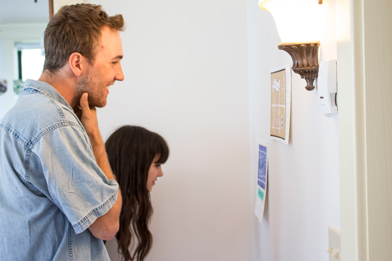
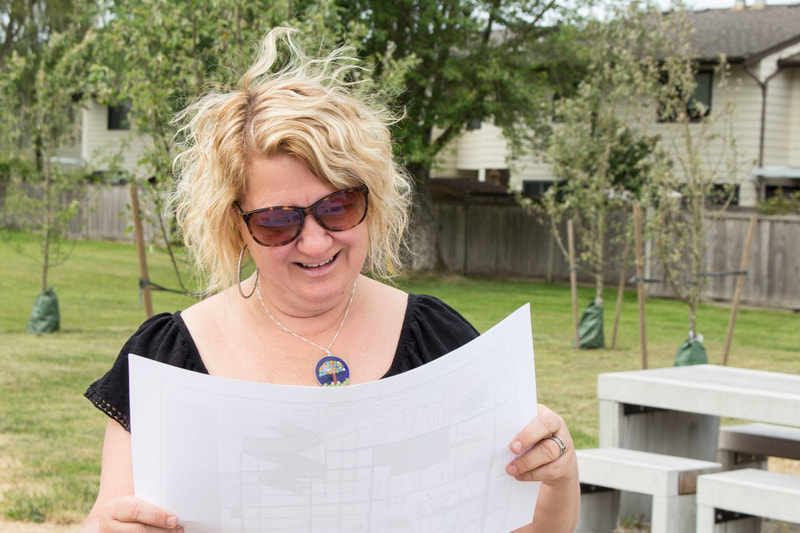
Walking Atlas is an interactive installation of handmade maps, each one representing a different perspective on the same suburban landscape. Created in Steveston, B.C. as part of the Branscombe House Artist Residency, these maps document the process of arrival in a new home and neighbourhood, using personal cartography to capture the fleeting and often overlooked minutia of Steveston and inviting participants to explore their neighbourhood through a poetic and thought-provoking lens.
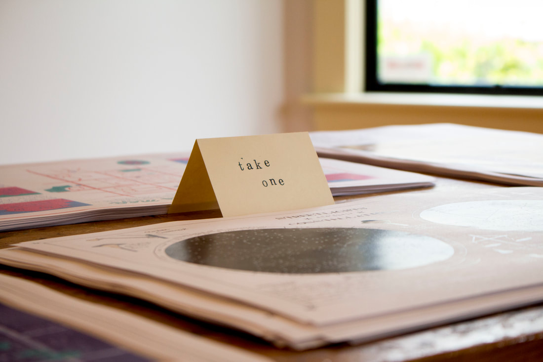
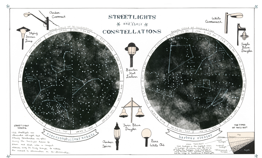
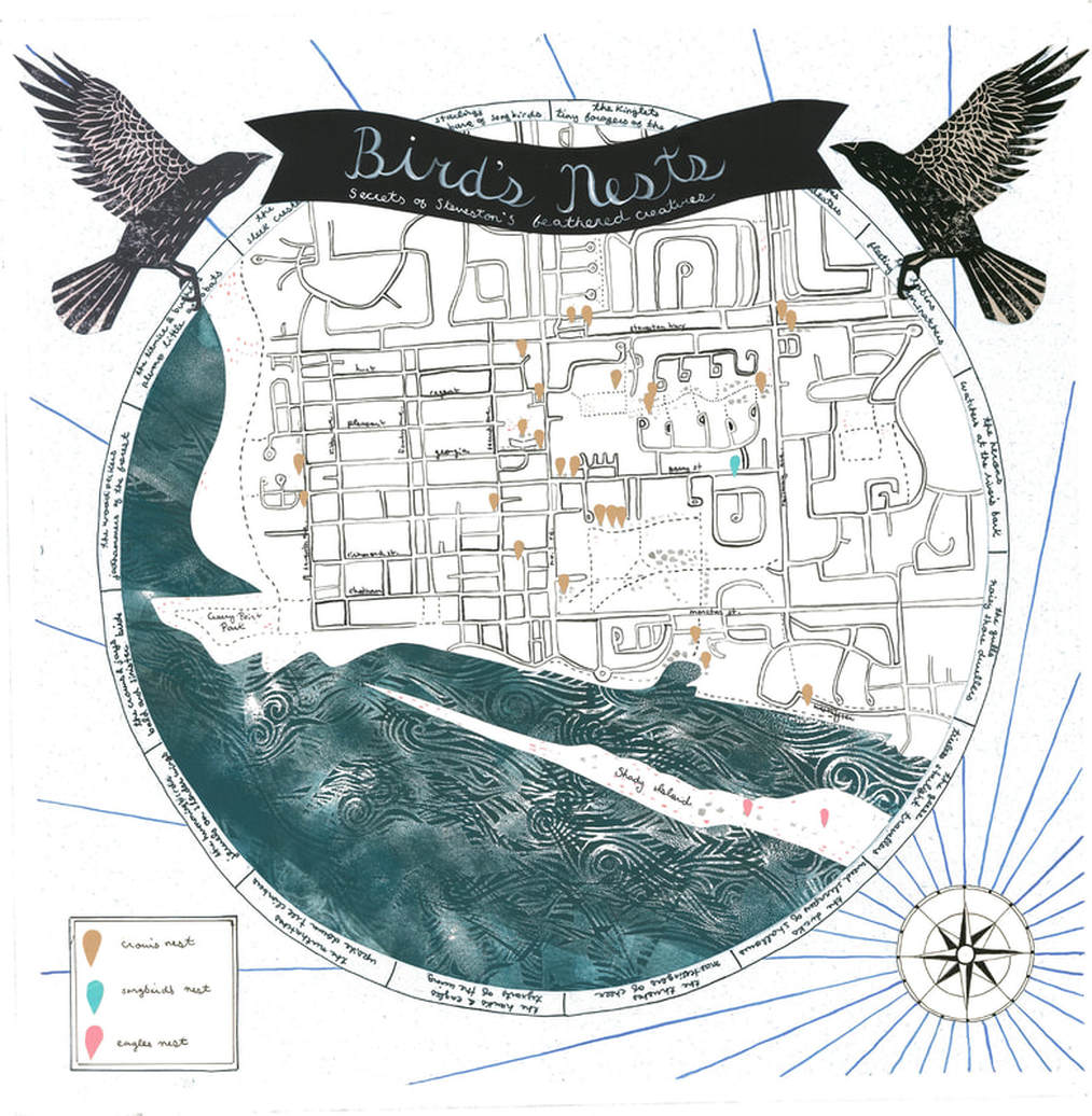
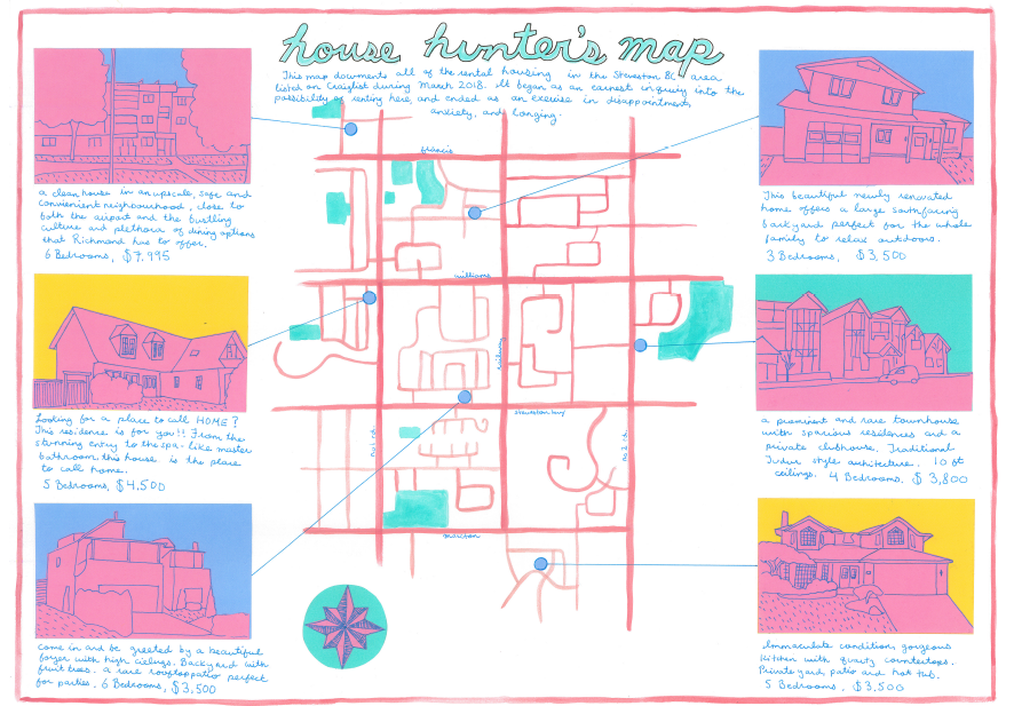
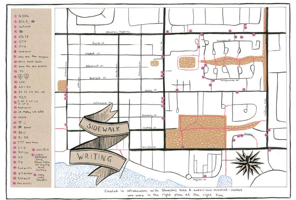
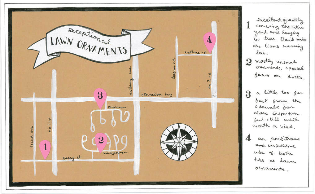
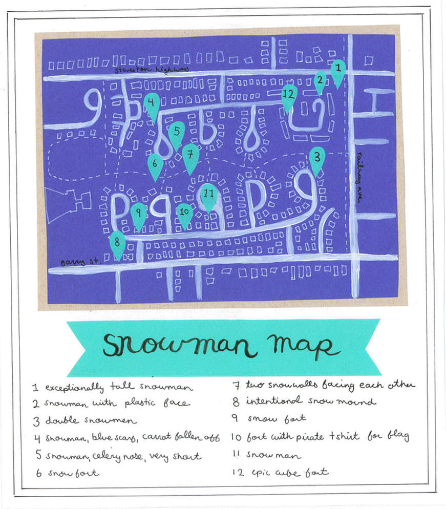
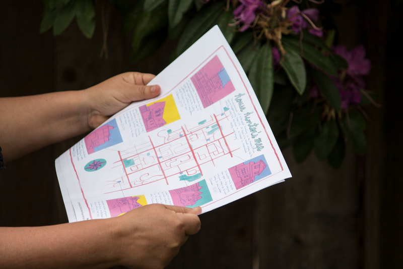
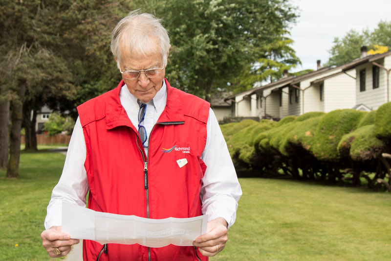
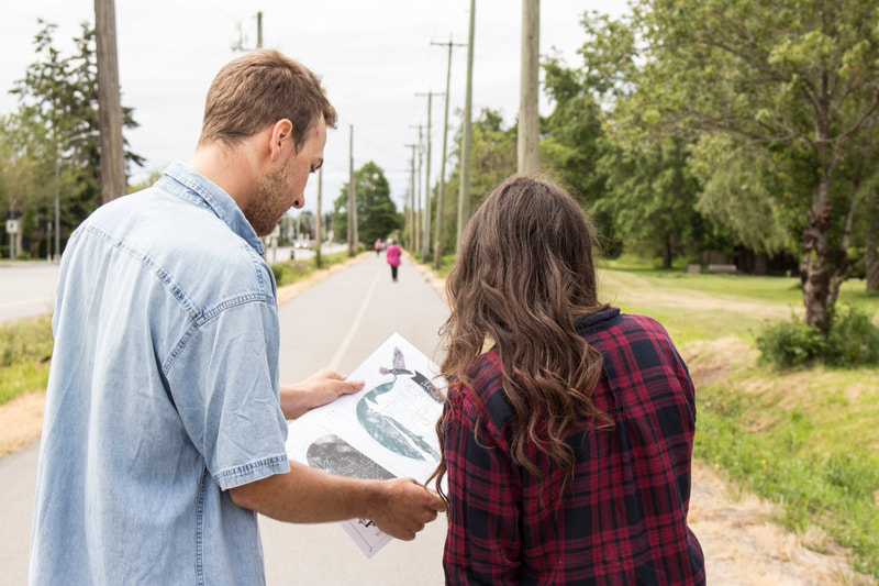
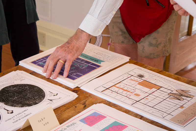
The project unfolded through a series of walks, investigations, and conversations, entering the process of re-orientation after displacement. Redrawing the world with curiosity and intimate observation, the maps of Walking Atlas include: Bird’s Nests Map (Secrets of Steveston’s Feathered Creatures), which depicts the locations of Steveston’s bird’s nests divided roughly by species; Streetlights and their Constellations, which depicts the streetlights of Steveston from a bird’s eye view with imagined constellations based on local mythologies creating shapes among the lights; House Hunter’s Map, which documents the alarmingly expensive rental housing available in Steveston at that time; Snowman Map; Exceptional Lawn Ornaments; and Sidewalk Writing Map (created in collaboration with Steveston’s bold and audacious mischief makers, who were in the right place at the right time), which documents initials and other messages and symbols left in wet cement. Visitors to the installation were invited to take copies of the maps home with them to use as navigational guides to re-imagine familiar places, and to spark their own consideration of how we become oriented within the landscapes we call home.
Created by Keely O'Brien as part of the Branscombe House Artist-Residency
Presented at Doors Open Richmond. June 2018.
