creative neighbourhood mapping project
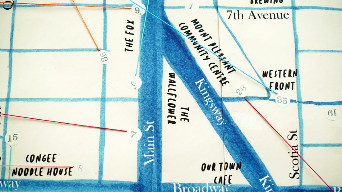
Creative Neighbourhood Mapping Project took place over a series of workshops hosted at Mount Pleasant Community Centre through Vancouver Park Board's Artists in Communities Program, during a year long residency in collaboration with June Fukumura titled Meeting Places. Through personal storytelling, community exchange, and site-specific exploration, we worked together with community members to assemble a collaborative portrait of the Mount Pleasant Neighbourhood.
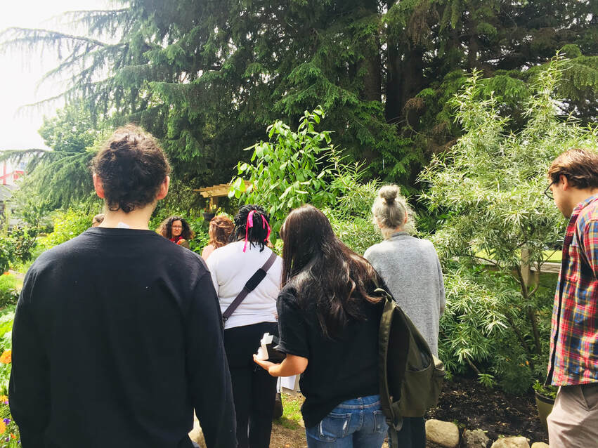
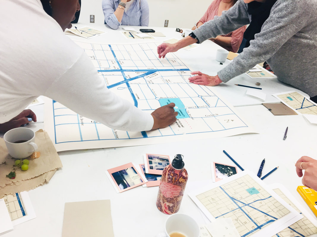
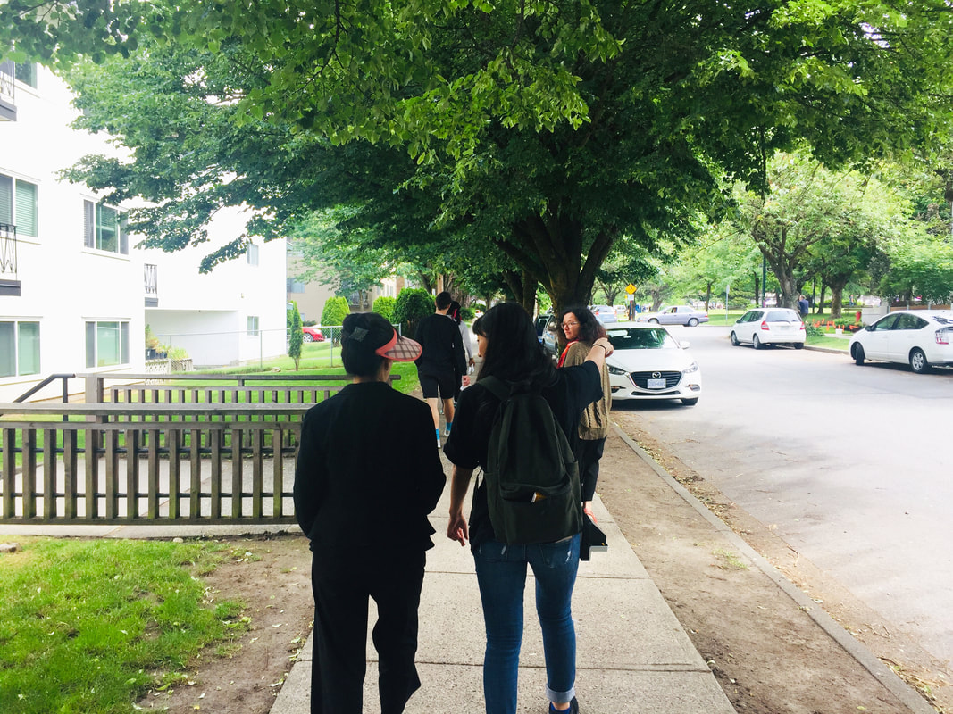
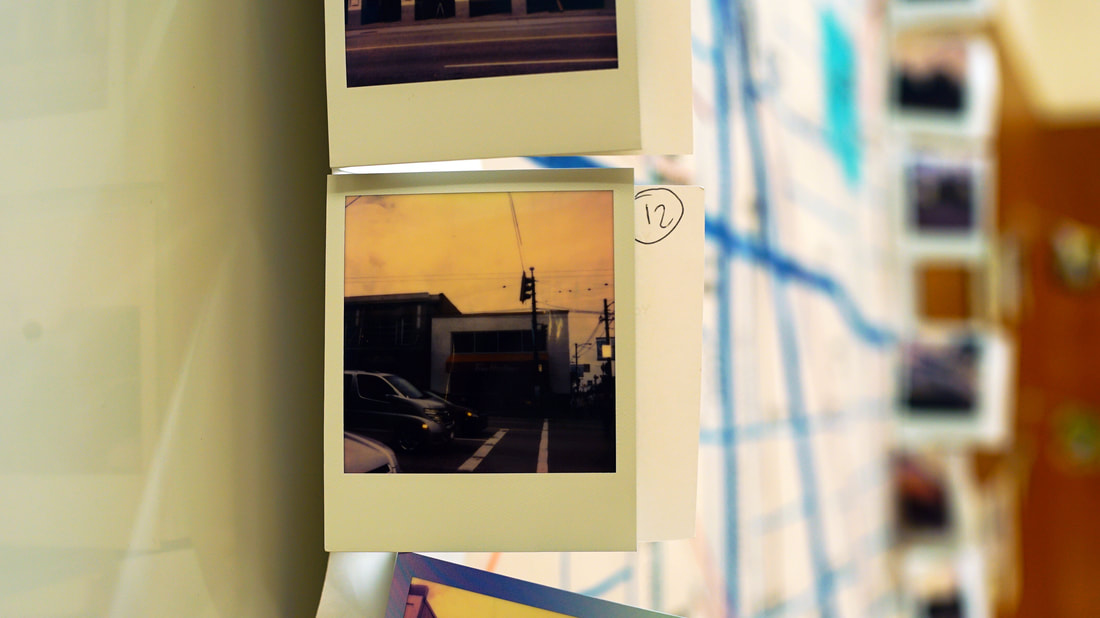
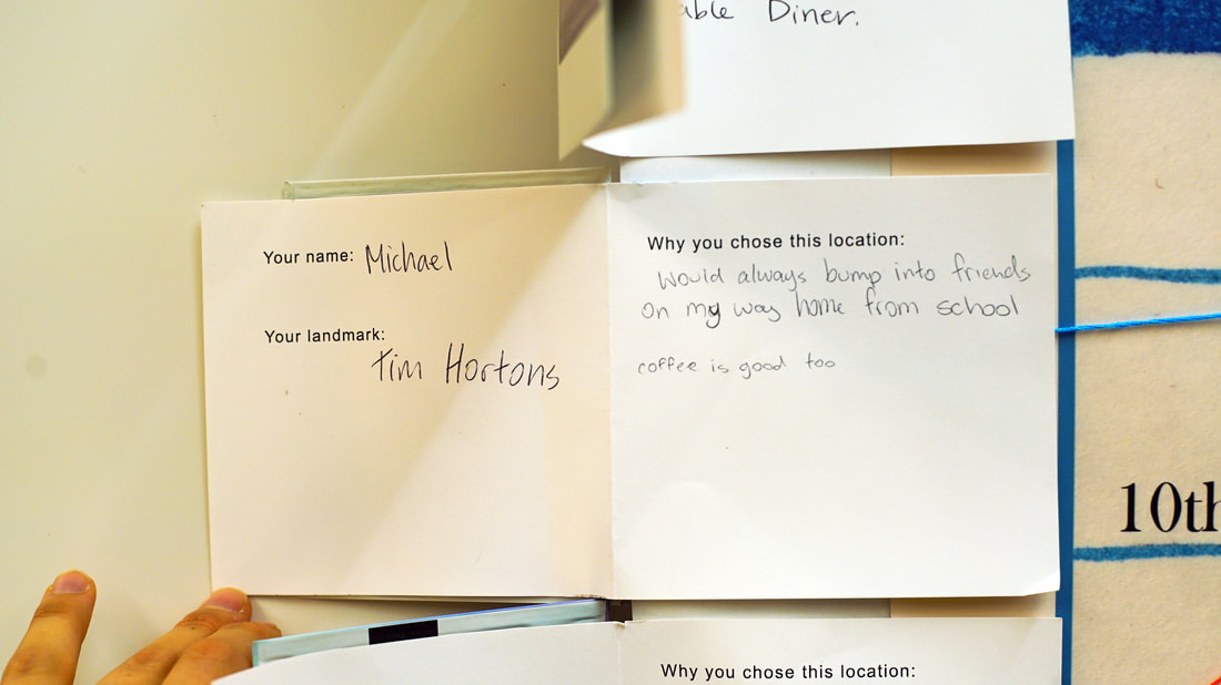
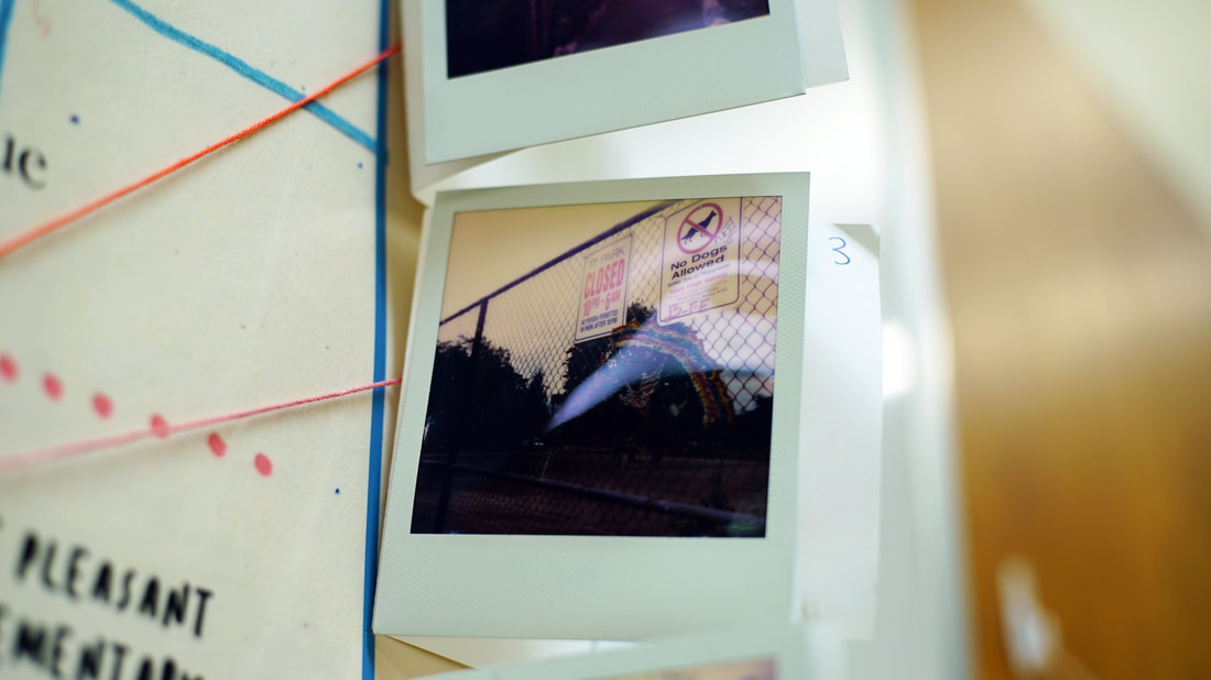
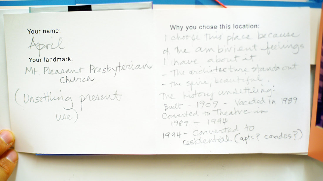
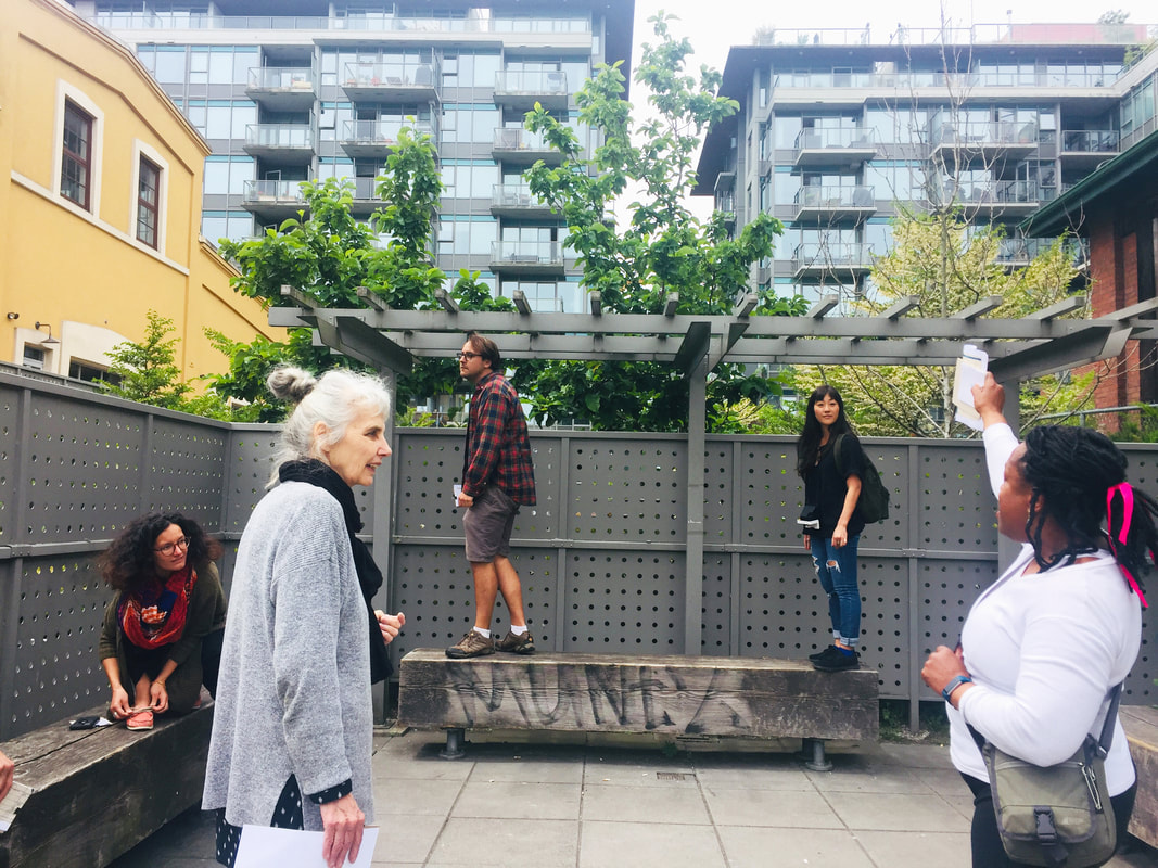
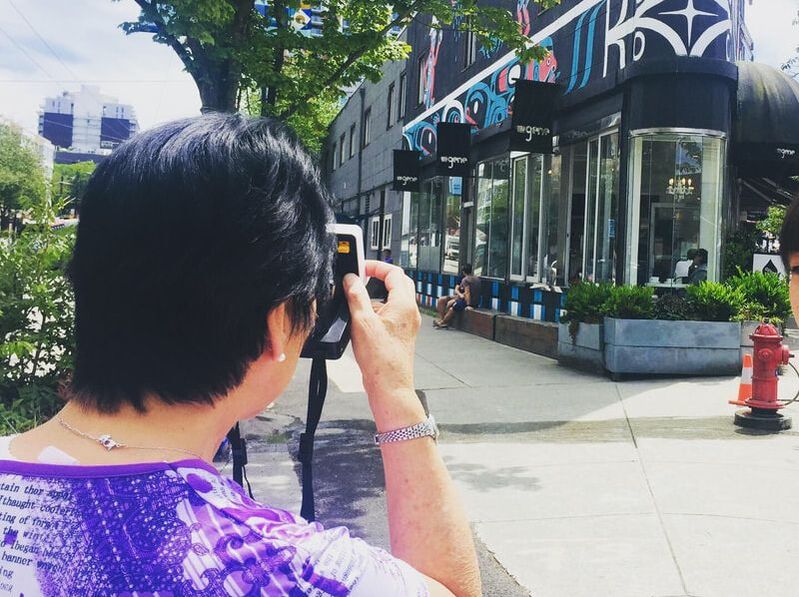
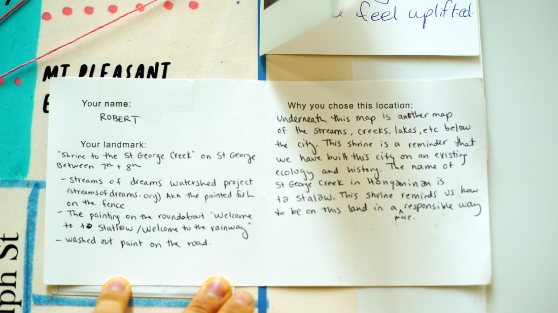
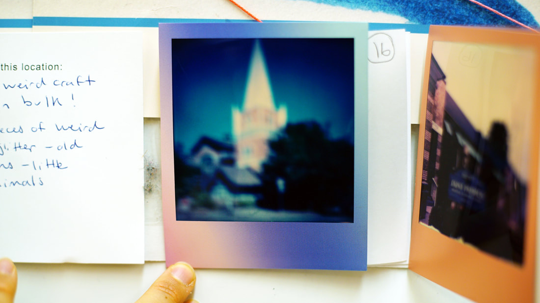
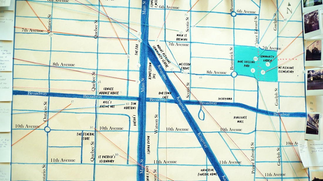
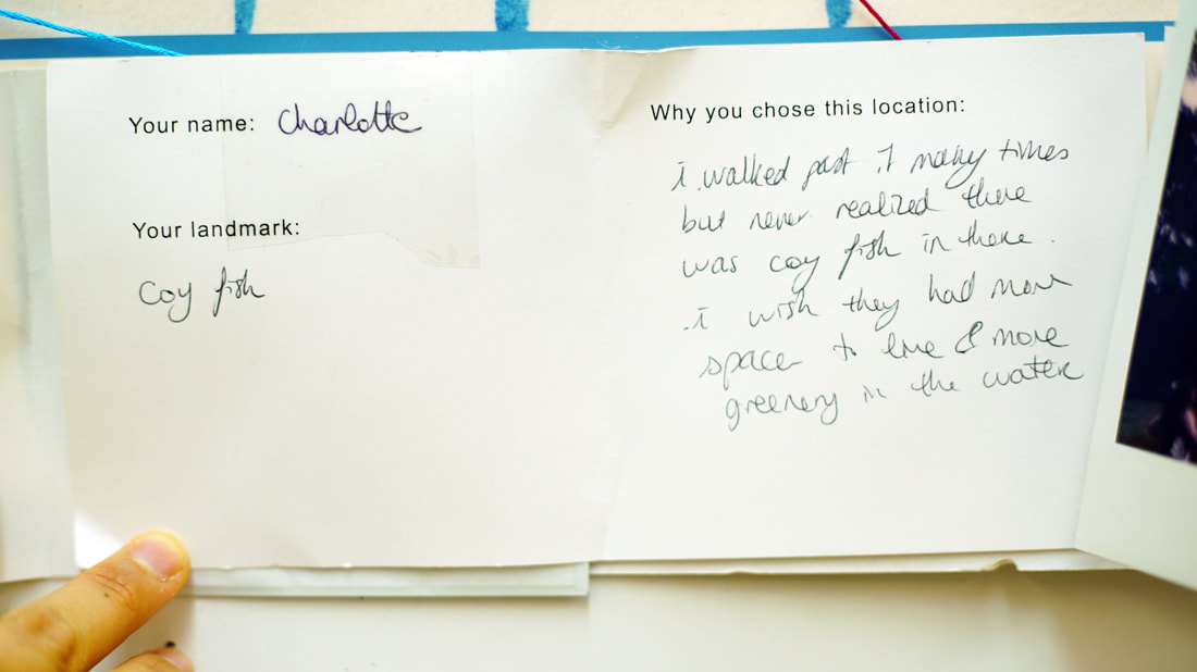
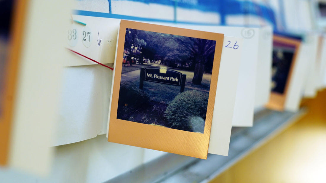
At each workshop, we started at the community centre and discussed how each one of has our own unique perspective and experience of the local landscape: depending on our own personal histories, skill-sets, interests, and backgrounds, we notice different things in the world around us. We then split up into small groups and went for exploration walks with the goal of choosing one or two landmarks each to bring back to the map. The choice of each landmark could be approached from a variety of angles: it could be a place we already knew or something just discovered, it could be a recommendation of somewhere to visit, a site that sparks questions and curiosity, a history of how a place has changed, or an idea for a future transformation. Once back at the centre, we added our landmarks to the collective map and planned the route for a walking tour of the locations we had all chosen. We set out walking all together. Each participant took turns being our tour guide, introducing their landmark and explaining why they had chosen it. The landmarks were diverse and fascinating, including yarn bombing interventions, waterway shrines, secret back room cocktail bars, meaningful trees with medicinal properties, abandoned houses, hidden gardens, traces of a candy factory, and haphazard bird feeders, among many others. We used a Polaroid camera to document our landmarks. These photos, along with participant's written descriptions of the landmarks, were compiled and exhibited on our growing map.
June-July 2019
photos by Sophia Wolfe
